
Antique & Collectible Auction
Tuesday, 11 - Saturday, 15 November 2025
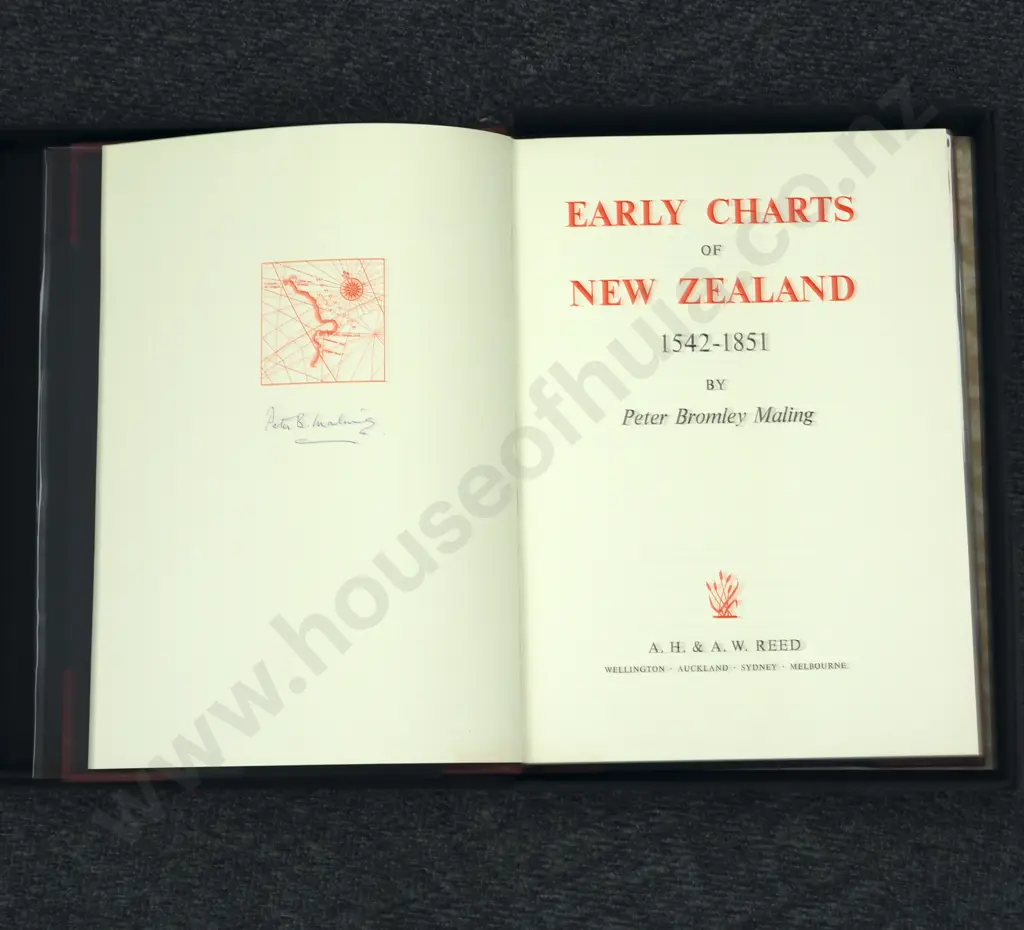
Early Charts of New Zealand, 1542-1851 Maling, Peter Bromley.Published by A.H. & A.W. Reed, Wellington, New Zealand,1969
Closed $150 (26 bids, reserve met)
This lot is now closed 15 Nov 10:17 pm (NZST)
Buyer premium and GST is additional to your bid.
All bids are subject to our buyer terms and conditions
Lot Details
Signed By Author 134 pp. with B/W and full-colour maps, plus index. Cover lightly edgeworn and rubbed. sx3eUsual ex-library markings. No slipcase. Navy blue with oxblood leather spine and corners. Gilt lettering. "The charting of New Zealand up to 1847 was, apart from the surveys of [Captain James] Cook and [Jules Dumont] d'Urville, a haphazard, piecemeal affair. The aim of this work is to tell the story of this charting by reproducing many of the early charts with an emphasis on their historical background. The selection of each plate has been made on the basis of its historical significance, geographical importance, and the quality and the availability of the original. Although many charts are here figured or noted, some of the early charts have had to be omitted, and the work is in no sense of complete and definitive catalog. The subject is covered reasonably comprehensively up to 1840; from then until 1851, the date of the latest map figured, a few only of the many maps produced have been dealt with. N0o attempt has been made to describe the work of [Captain John Lort] Stokes and [Commander Byron] Drury who, between 1847 and 1856, carried out the first detailed hydrographic survey of the coasts of New Zealand. ? I hope that this book may serve as an introduction to a neglected subject and that it will stimulate the more detailed study of New Zealand's charts and maps and the interesting problems posed by many of them." - Author's note.
Other items you may like from this sale
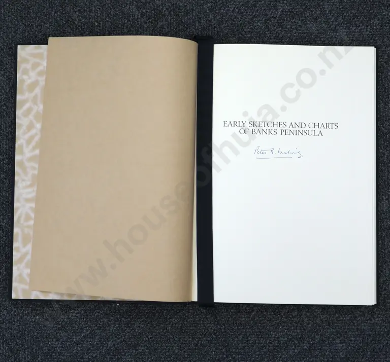
Early Sketches and Charts of Banks Peninsula 1770-1850 Author Peter Bromley Maling
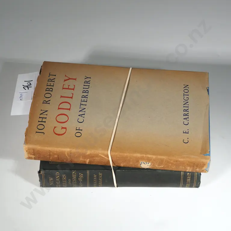
New Zealand Rulers & Statesmen 1840-1897 By William Gisbourne, Samson, Low, Marston & Co. & John Robert Godley Of Canty.

Two Books - 100 New Zealand Artists By Warwick Brown & Two Hundred & Fifty Years Of NZ Painting
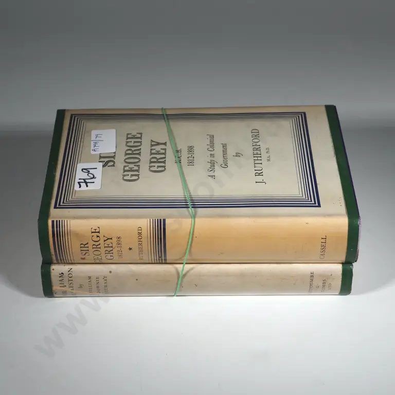
Sir George Grey K.C.B. 1812-1898 A Study in Colonial Government By Rutherford & J. & William Rolleston A NZ Stateman
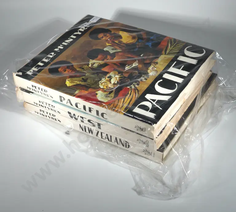
Three Books- Peter McIntyres New Zealand, Peter McIntyres West & Peter McIntyres Pacific. Pacific Edition Signed.
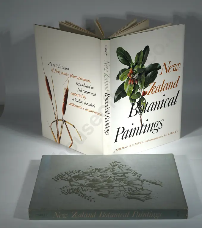
New Zealand Botanical Paintings. By Norman Harvey and EJ Godley.Publisher: Whitcombe & Tombs 1969, First edition.
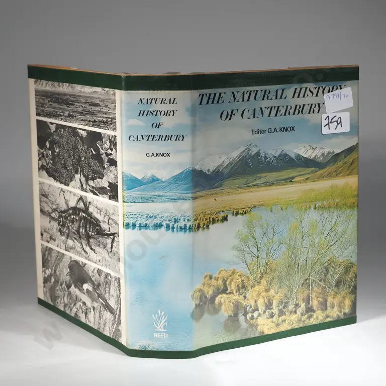
The Natural History of Canterbury
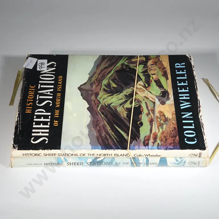
Two Books - Colin Wheeler Historic Sheep Stations Of The South & The North Island
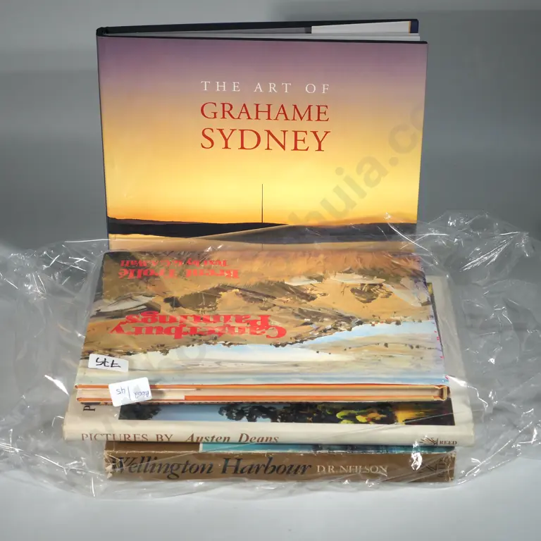
Five Books- Canterbury Paintings By Brent Trolle (Text By G. Wall, Historic Sheep Stations Of New Zealand Colin Wheeler,
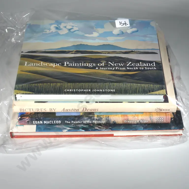
Four N.Z Art Books To Include "Landscape Paintings Of New Zealand" By Christopher Johnstone, Pictures" By Austen Deans,
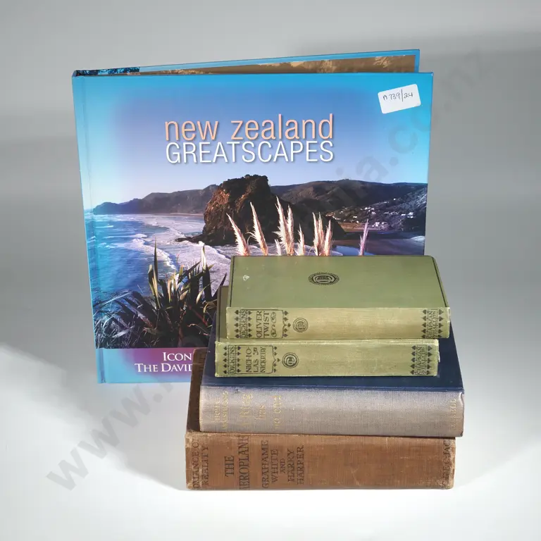
Quantity of Books Including New Zealand Greatscapes By David Kerr, Charles Dickens Three Books The Popular Edition
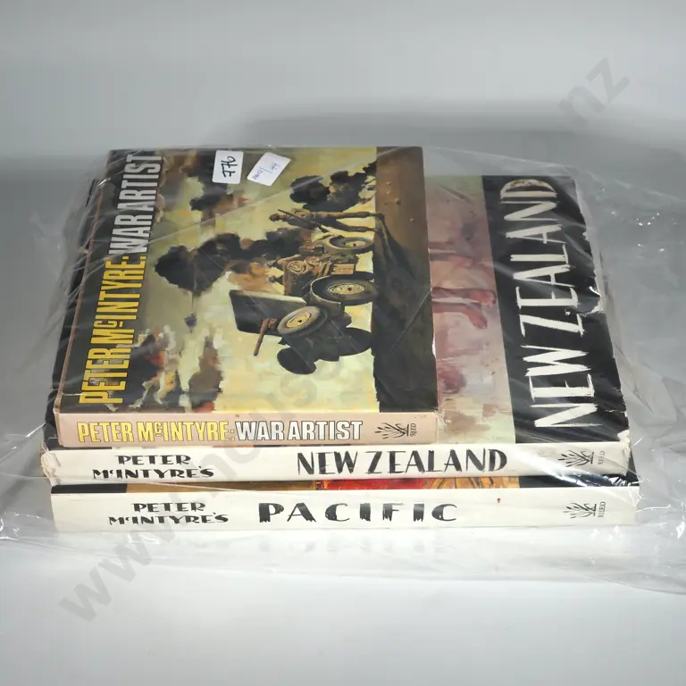
Three Books - Peter McIntyres New Zealand, Peter McIntyres Pacific & Peter McIntyre War Artist
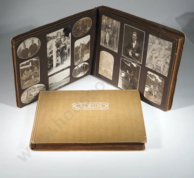
Pair of Antique New Zealand Photograph Albums w Photos Inside.
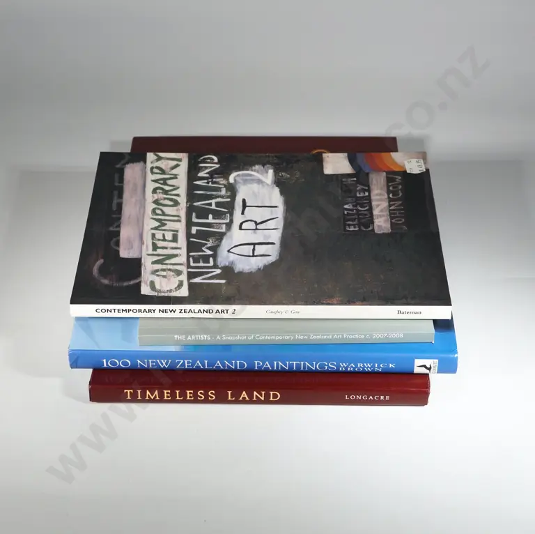
Four Books- Timeless Land, Painter Grahame Sydney, Poet Brian Turner,Writer Owen Marshall; 100 NZ Paintings By Warwick
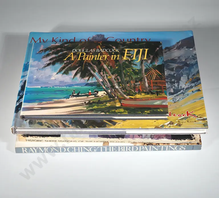
Four Books - Historic Sheep Stations Of The North Islands: Raymond Ching, The Bird Paintings; Douglas Badcock,
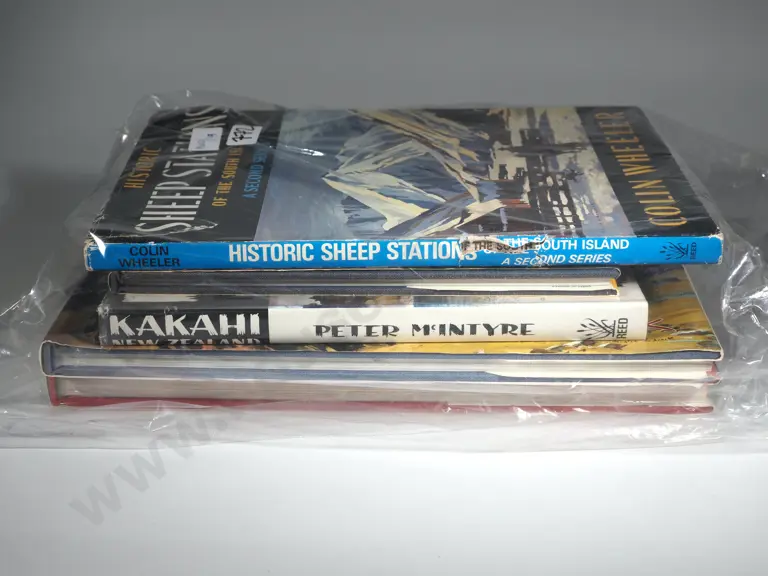
Five Books - Douglas Badcock Painter In Fiji, Kakahi New Zealand By Peter McIntyre, My Kind Of Country
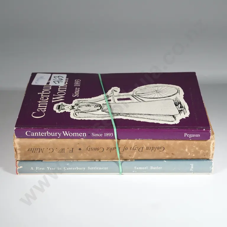
Samuel Butler A First Year In Canterbury Settlement. This Edition 1964, Golden Days of Lake County. FWG Miller. Otago
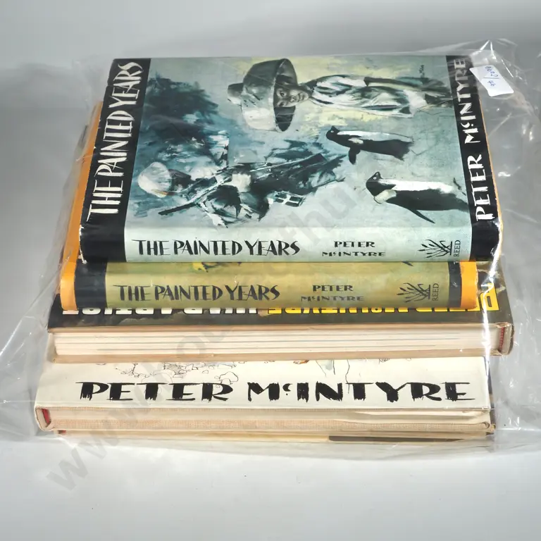
Five Books, The Painted Years By Peter McIntyre; The Painted Years By Peter McIntyre; Peter McIntyre : War Artist;
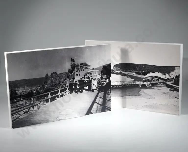
Two Early NZ Black & White Photographs.
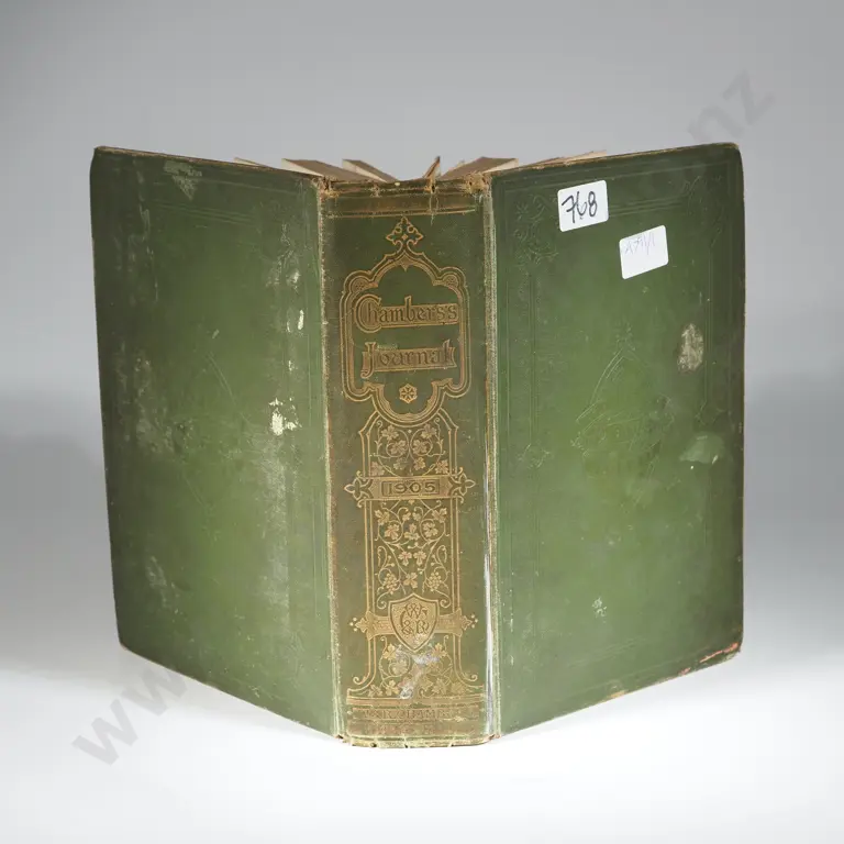
1905 Chambers Journal - From the Christchurch Railways Employees Library